
The King of Spain
The Bakers Guild House
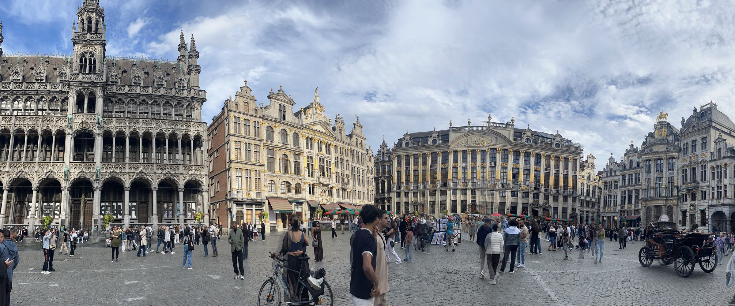
Thirty-four buildings around one square, drawn to scale from the city survey. We live 200 metres away and still stop to look at the gilding.
Plan
The square seen from overhead, drawn from surveyed footprints. Twenty-three of them carry thirty-four house numbers, because several units of the survey turn out to be one building on the ground.
Guild house Civic House and shop Every number is a link. North is to the lower right.
Elevation
The same four sides at eye level, every façade drawn to one scale and set out in address order.
Guild house (14) Private house or shop (18) Civic building (2) Spire and belfry Every house is a link. Pick one.
Fourteen of the thirty-four belonged to a corporation. The bakers, the grease dealers, the carpenters, the archers, the boatmen and the mercers held the whole north-west row between them, and several of their emblems are still on the facades.
Two buildings the city put up for itself, facing each other across the cobbles. The Town Hall carries the square's only spire; the King's House opposite was a bread market before it became the city museum.
The other eighteen were private houses and shops, and most of them still are: chocolate and lace at street level, cafes and restaurants under the awnings, offices and flats on the floors above.
Model
The plan lifted to the surveyed heights. The Town Hall spire is 96 metres and nothing else on the square reaches 40, which is a proportion no flat drawing of it quite conveys.
A model of the square, 34 buildings on their real ground plan at their surveyed heights.
It needs WebGL. The plan and the elevation above are the same data drawn flat.
Method
The four sides of the square, drawn from the buildings' own coordinates. Point at any building, here or on the elevation above, to name it; click to open its page. The Town Hall fills the whole south-west side on its own, which is why that stretch carries a single marker between two corners.
Heights are the city's surveyed figures. Widths are derived: the dataset carries none, so each wall is divided at the midpoint between one house and the next. The Town Hall fills its whole side, so it takes the constructed distance between the square's west and south corners.
Names, heights, guilds and restoration dates come from the Grand-Place building survey published by Ville de Bruxelles / Data Management as open data under CC BY 4.0, last updated 2026-09-11. The drawing, and everything we have written around it, is ours.


